Himalayan Rainy Season Guide

Monsoon Weather in Uttarakhand

A thorough meteorological guide to the South-West monsoon in the Himalayas. Discover the magical blooming of the Valley of Flowers, roar of mountain cascades, SDRF disaster safety protocols, and safe foothill getaways.

Rainfall Breakdown
Valley of Flowers Bloom
Landslide Safety Rules
SDRF Emergency Protocols
Monsoon Packing Kit
Meteorological Overview

How the Monsoon Affects Uttarakhand

Between late June and mid-September, moisture-laden South-West monsoon winds from the Bay of Bengal travel across northern India and collide forcefully with the Himalayan orographic barrier.

Orographic Precipitation & Microclimates

The Shivalik hills and southern Himalayan slopes receive tremendous rainfall (often exceeding 2,000 mm annually in areas like Rajpur, Dehradun, and Nainital). Conversely, rain-shadow regions north of the Greater Himalayan crest—such as the upper valleys of Uttarkashi, Malari, and Niti—receive substantially less precipitation.

Regional Contrast

Garhwal vs Kumaon Rainfall Patterns

Garhwal Division (Dehradun, Haridwar, Tehri, Pauri, Chamoli, Rudraprayag, Uttarkashi): Garhwal’s steep river gorges (Alaknanda, Mandakini, and Bhagirathi valleys) channel heavy cloud formations. The foothills around Rishikesh and Dehradun experience tropical torrential downpours, while high-altitude pilgrimage routes can be subject to localized cloudbursts and rockfall along mountain cuts.

Kumaon Division (Nainital, Almora, Bageshwar, Pithoragarh, Champawat, Udham Singh Nagar): Nainital and Champawat receive intense orographic showers due to direct exposure to plains winds. However, inner ridges around Almora, Ranikhet, and Kausani enjoy comparatively milder rainfall and spectacular misty ridge views, making them peaceful rainy season hideaways.

Uttarakhand Mountain Rain and Valley Cloud Mist
Data by District

Uttarakhand District Monsoon Rainfall Statistics

Official average seasonal rainfall and terrain vulnerability indicators across Uttarakhand’s 13 administrative districts.

District Avg Monsoon Rain (Jul-Aug) Peak Rainfall Window Terrain Vulnerability Travel Recommendations
Dehradun 1,200 – 1,450 mm Mid July – Early August Moderate (Foothills & Plains) City & Mussoorie accessible; avoid riverbeds & seasonal nullahs.
Nainital 1,150 – 1,400 mm Late July – Mid August Moderate to High (Steep slopes) Nainital lake town accessible; watch for road slips on Haldwani highway.
Chamoli 850 – 1,100 mm July 20 – August 25 High (High mountain gorges) Valley of Flowers is prime; monitor Joshimath-Badrinath highway status.
Rudraprayag 900 – 1,200 mm July 15 – August 20 Very High (Mandakini valley) Kedarnath route faces mudslips; adhere strictly to SDRF advisory timings.
Pauri Garhwal 950 – 1,250 mm July – August Moderate (Lansdowne ridge) Lansdowne cantonment is very safe and beautiful; avoid low river crossings.
Almora 700 – 950 mm July – Mid August Low to Moderate (Ridge topography) One of the safest Kumaon hill districts; peaceful misty oak forests.
Pithoragarh 1,000 – 1,300 mm July 15 – Late August High (Sharda & Kali river gorges) Remote border tracks prone to debris; keep 2-3 contingency buffer days.
Haridwar 800 – 1,050 mm July – August Low (Plain terrain) Ganga river water levels rise; riverbank ghats monitored by police.
UNESCO World Heritage Highlight

The Magic of Valley of Flowers: Why Monsoon is Invaluable

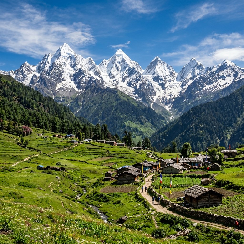
While conventional travelers avoid mountain rain, for botanists, photographers, and trekkers worldwide, July and August represent the crown jewel of the Himalayan calendar: the blooming of the Valley of Flowers National Park in Chamoli.

Hidden amidst the Zanskar and Greater Himalayan ranges, this high-altitude glacial basin (at 3,658 meters) awakens from its winter sleep only when the monsoon rains nourish its alpine turf. Over 300 distinct species of wildflowers blanket the 87.5 sq km reserve in living carpets of violet, yellow, pink, and white:

  • Himalayan Blue Poppy (Meconopsis aculeata): The revered "Queen of Himalayan Flowers" blooming along boulder moraines in July.
  • Brahma Kamal (Saussurea obvallata): The sacred state flower of Uttarakhand blooming at high altitudes near Hemkund Sahib.
  • Cobra Lily (Arisaema): Bizarre hooded blossoms carpeting the Birch (Bhojpatra) forest floor.
  • Edelweiss, Primulas, Forget-Me-Nots & Meadow Geraniums: Stretching uninterrupted across the river Pushpawati banks.

Combined with the holy pilgrimage to the high-altitude glacial lake of Hemkund Sahib (4,329 m), a monsoon trek here is a once-in-a-lifetime expedition when planned with verified mountain guides and proper waterproof alpine gear.

Valley of Flowers in Full Monsoon Bloom
Hydrological Wonders

Roaring Monsoon Waterfalls

During July and August, Uttarakhand’s mountain cascades swell to their full theatrical glory. Roaring plumes of crystal glacial meltwater plummet hundreds of feet through mist-draped gorges:

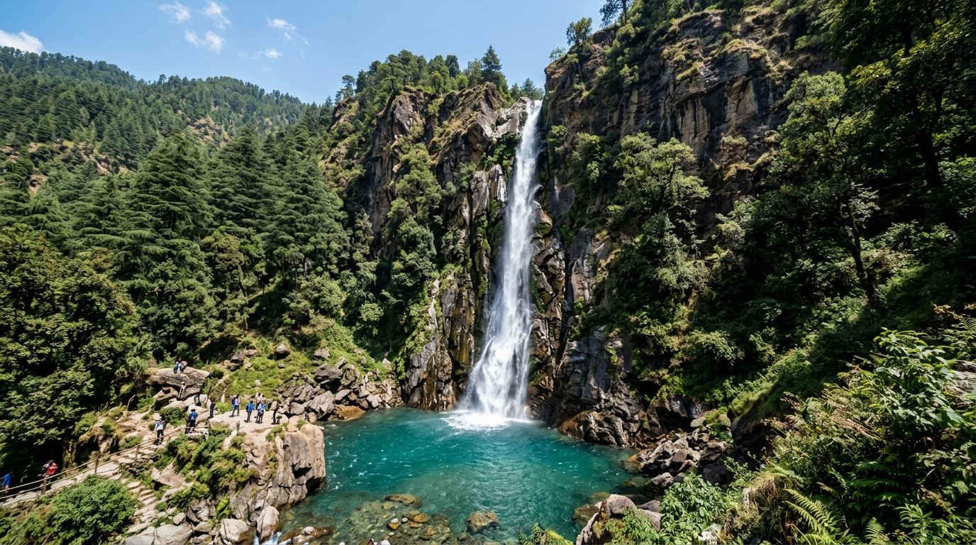
Tiger Falls Chakrata
Tiger Falls (Chakrata) Plummeting over 312 feet directly into a jade basin surrounded by towering deodar pine forests. One of the highest direct waterfalls in India.
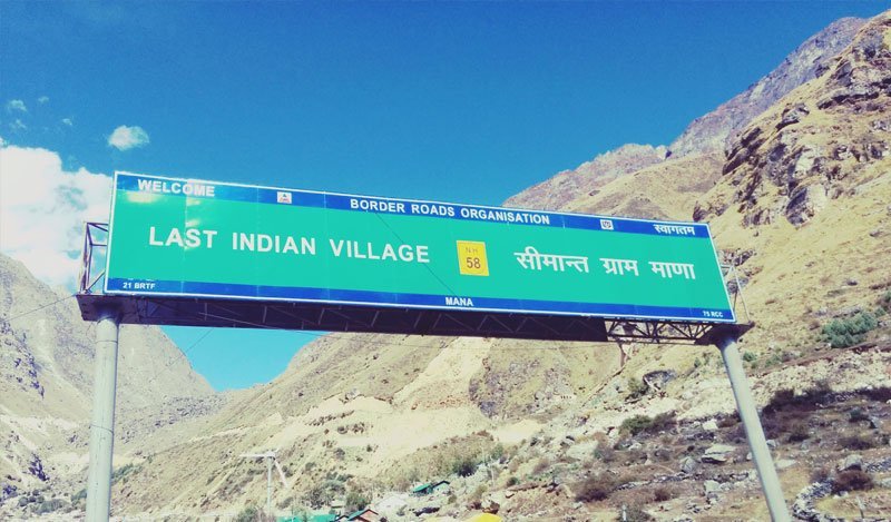
Vasudhara Falls near Mana Village
Vasudhara Falls (Near Badrinath / Mana) A 400-foot glacial spray waterfall fed by the Alaknanda and Satopanth glaciers, creating ethereal mist clouds in the high alpine air.
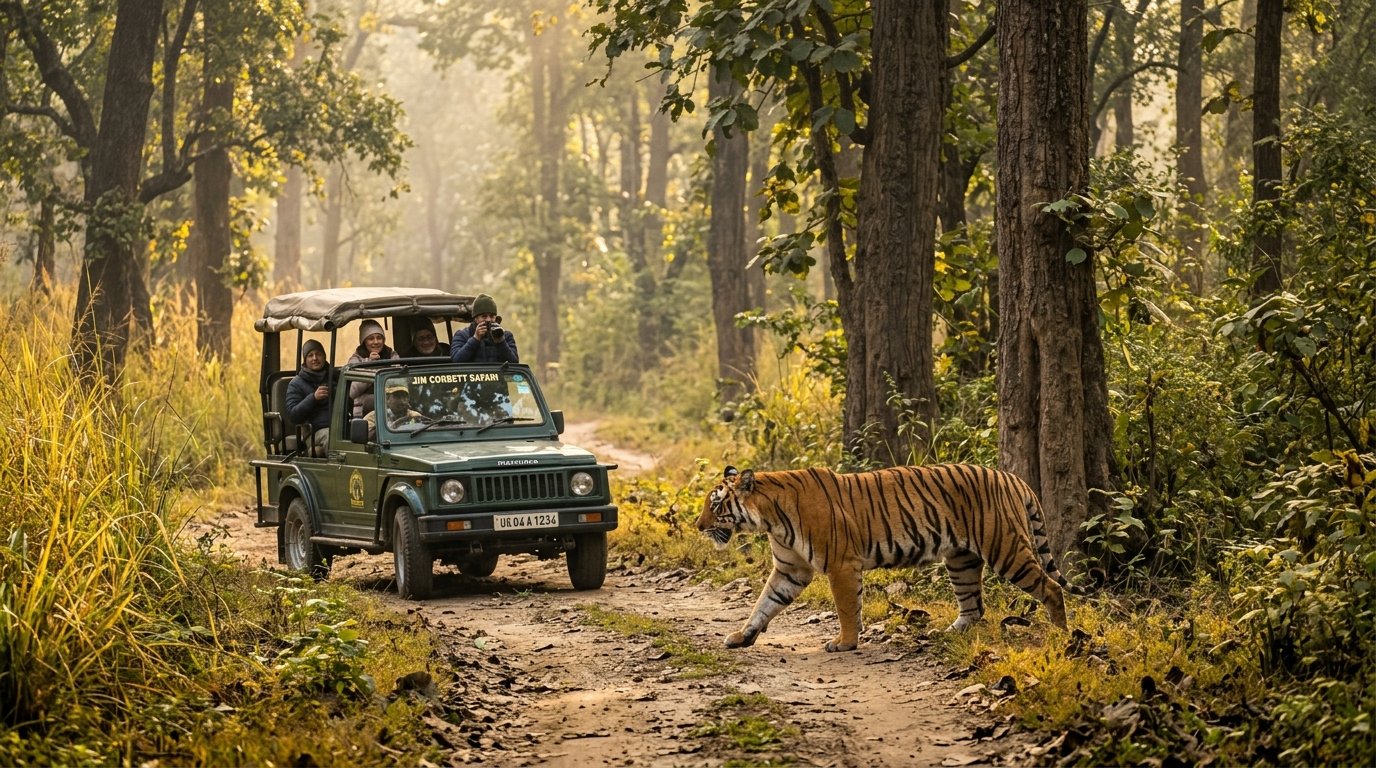
Corbett Falls in Kaladhungi
Corbett Falls (Kaladhungi / Ramnagar) Dense teak jungle cascade surrounded by bird song, located in the buffer zone of Corbett National Park.
Birthi Falls near Munsyari
Birthi Falls (Munsyari / Pithoragarh) A dramatic 400-foot curtain waterfall cascading off rugged granite cliffs on the road to Munsyari, surrounded by emerald foliage.
Disaster Preparedness

Official SDRF & Disaster Safety Guidelines

Strict adherence to these official State Disaster Response Force (SDRF) rules ensures your Himalayan holiday remains completely safe and trouble-free.

IMD Weather Warning Colors: What They Mean for Travelers

Green Alert: Normal conditions; safe for all highway and mountain travel.
Yellow Alert (Watch): Scattered showers; stay updated with local weather forecasts.
Orange Alert (Be Prepared): Heavy to very heavy rain likely; avoid non-essential long-distance ghat driving; defer high pass treks.
Red Alert (Take Action): Severe downpours, potential cloudbursts, and flash flood alerts. All mountain transit is halted by district administration. Strictly stay inside hotel/resort.

Emergency Lifeline

Emergency Helplines to Save on Your Phone

State Disaster Emergency Helpline Toll-Free: 1070 / 0135-2710334 (State Emergency Operation Centre)
SDRF Uttarakhand Control Room Direct Phone: 9557444486 / 0135-2410197 (Specialist mountain rescue)
Police & Universal Emergency Dial: 112 (All emergencies: Police, Fire, Ambulance)
National Highways Authority Helpline Dial: 1033 (Road clearing, towing, highway breakdowns)

How to Recognize Impending Landslide Danger

While driving or trekking, be trained to spot early geological signs of slope instability:

  • Small falling stones or pebbles (chhoti girawat): Never ignore small stones tumbling down a roadside cut. They are the immediate precursor to a major rockfall. Immediately reverse to a safe zone.
  • Sudden discoloration of river water: If a clear mountain stream turns instantly muddy and thick, a landslide or flash flood has occurred upstream. Move away from the riverbed immediately.
  • Tilting trees or utility poles: An evident sign of deep soil creeping along the hill slope.
  • Do not park under overhangs: When caught in a traffic hold-up on ghat roads, never park your car beneath loose shale rock overhangs or near water-discharge culverts.
River Confluence and High Mountain Monitoring
Destination Categorization

Safe Monsoon Destinations vs High-Risk Areas

Make smart destination choices. Not all areas of Uttarakhand carry equal monsoon risk.

Safe & Recommended Monsoon Destinations

  • Lansdowne: Built on a stable geological ridge with military-maintained roads.
  • Mussoorie & Dehradun: Broad foothill roads with rapid road clearance teams.
  • Almora & Ranikhet: Broad, gentle Kumaon ridges with serene misty orchards.
  • Nainital & Bhimtal: Lake district towns with great road connectivity via Kathgodam.
  • Rishikesh (Foothill ashrams): Safe for yoga retreats, ashram living, and Ganga Aarti (rafting closed).

High-Risk Zones Requiring Extreme Caution

  • Kedarnath Highway (Rudraprayag – Gaurikund): Fragile gorge cuts prone to debris blocks.
  • Badrinath Highway (Joshimath – Badrinath): Vulnerable stretches like Lambagar and Sirobagarh.
  • Remote Unpaved Valley Roads: Pithoragarh border tracks, Darma Valley, remote Bageshwar interior.
  • Low-Level Riverbanks: Any unauthorized camping on sandbars of Ganga, Alaknanda, or Mandakini.
Luggage Preparation

Essential Monsoon Packing Checklist

Pack smart to stay dry, comfortable, and protected during the Himalayan rainy season.

Rainwear & Apparel

  • Breathable Gore-Tex jacket or heavy poncho
  • Waterproof rain pants
  • Quick-dry synthetic t-shirts & trackpants
  • 5+ extra pairs of moisture-wicking socks
  • Lightweight fleece sweater for chilly nights

Footwear & Protection

  • Waterproof hiking boots with deep Vibram grip
  • Breathable camp sandals with straps
  • Water-repellent gaiters for high grass trails
  • Anti-leech salt / tobacco pouches for forests
  • Odomos / DEET insect repellent spray

Electronics & Medical

  • Heavy-duty dry bags / Ziploc pouches
  • Silica gel packets for camera lenses & phones
  • 20,000 mAh waterproof power bank
  • Water purification drops / LifeStraw
  • First-aid kit with anti-diarrheal & bandages
Road Protocol

Mountain Driving Rules During Heavy Rainfall

Driving on Himalayan ghat roads during the monsoon demands heightened defensive driving habits:

  • Strictly No Night Driving: Never drive on mountain roads after 6:00 PM during monsoon. Flash floods, debris slips, and fog make night navigation perilous.
  • Fog & Visibility: Use low-beam headlights and yellow fog lamps. High beams reflect off dense fog banks and blinding rain, creating zero visibility.
  • Right of Way: Vehicles ascending steep inclines always have absolute right of way. Pull over into designated passing turnouts if you are descending.
  • Avoid Hard Braking: Mountain roads become coated in wet moss and slick mud slurry. Shift down to lower engine gears (2nd or 1st gear) to utilize engine braking rather than locking brake pads.
  • Tyre Health: Ensure your tyres have at least 3 mm of tread depth to prevent dangerous aquaplaning across mountain sheet water.
Mountain Driving in Rain in Uttarakhand
Answers to Common Concerns

Frequently Asked Questions: Monsoon Travel

Clear, practical answers for domestic holidaymakers and international visitors planning travel during the rainy season.

While the Char Dham temples remain open throughout July and August, pilgrimage traffic slows significantly. Road disruptions due to rockfall and debris are common on the Rishikesh-Badrinath and Rudraprayag-Kedarnath highways. Devotees traveling during monsoon must maintain 2 to 3 buffer days in their itinerary, carry adequate cash and dry rations, and be prepared to pause travel whenever the administration issues an orange or red weather warning.

The safest monsoon destinations are foothill cities and ridge stations: Lansdowne (clean military roads and pine ridge topography), Mussoorie and Dehradun (rapid highway maintenance), Nainital and Bhimtal (safe foothill lake towns), and Almora. These destinations offer breathtaking misty beauty without exposing you to perilous river-canyon transit.

The optimal window is from July 15 to August 20. During these five weeks, the maximum number of wildflower species are simultaneously in bloom, and the alpine valley is a dazzling kaleidoscope of petals. By September, the flowers begin producing seeds and the valley turns into a golden autumn grass meadow.

Trains arriving at Haridwar, Dehradun, and Kathgodam broad-gauge terminals operate reliably throughout the monsoon, rarely experiencing weather delays. Flights arriving at Jolly Grant Airport (Dehradun) from Delhi and Mumbai occasionally experience minor delays or diversions during sudden severe cloudbursts or low-ceiling fog, but usually operate normally once cloud cover lifts.

Yes. Except for the Valley of Flowers trekking circuit (which experiences peak season in July/August), luxury resorts, heritage homestays, and boutique properties across Mussoorie, Nainital, Corbett, and Rishikesh offer discounts between 30% and 50% compared to peak May-June rates. It is an extraordinary opportunity for budget-conscious travelers to experience 5-star mountain luxury at accessible prices.

Need Real-Time Monsoon Weather & Road Updates?

Planning an upcoming trip during the rainy season? Get verified live updates on highway status, SDRF advisories, and curated safe itineraries from our local Uttarakhand team.

Send Enquiry