Summer
March – June
15°C – 30°C
Pleasantly warm during the daytime with cool mountain breezes. Perfect for touring the historic fort, temple shrines, and venturing up to Chandak hill.
Little Kashmir of Kumaon · Soar Valley Citadel & Gateway to Kailash-Mansarovar
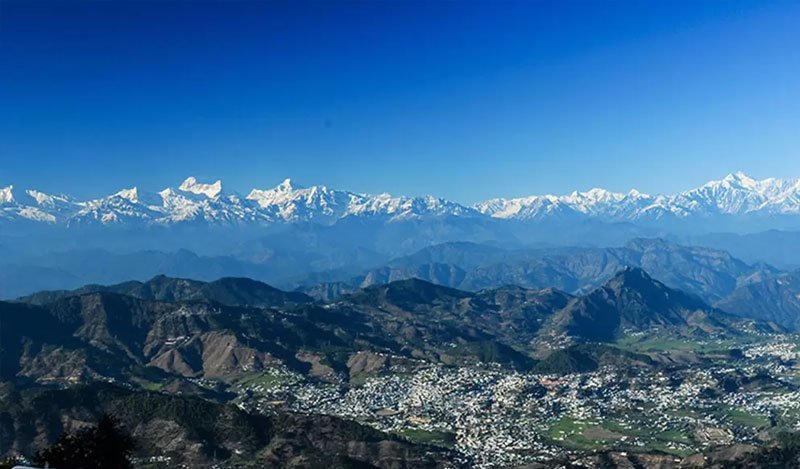
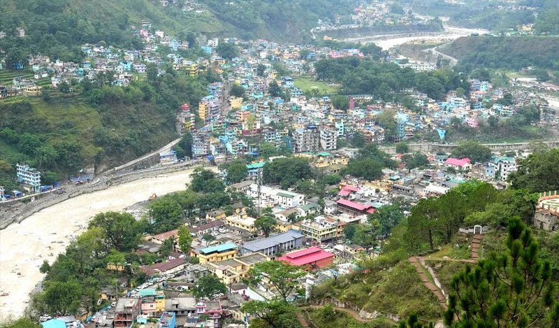
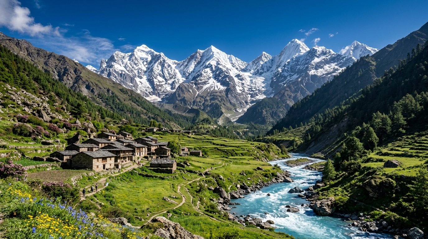
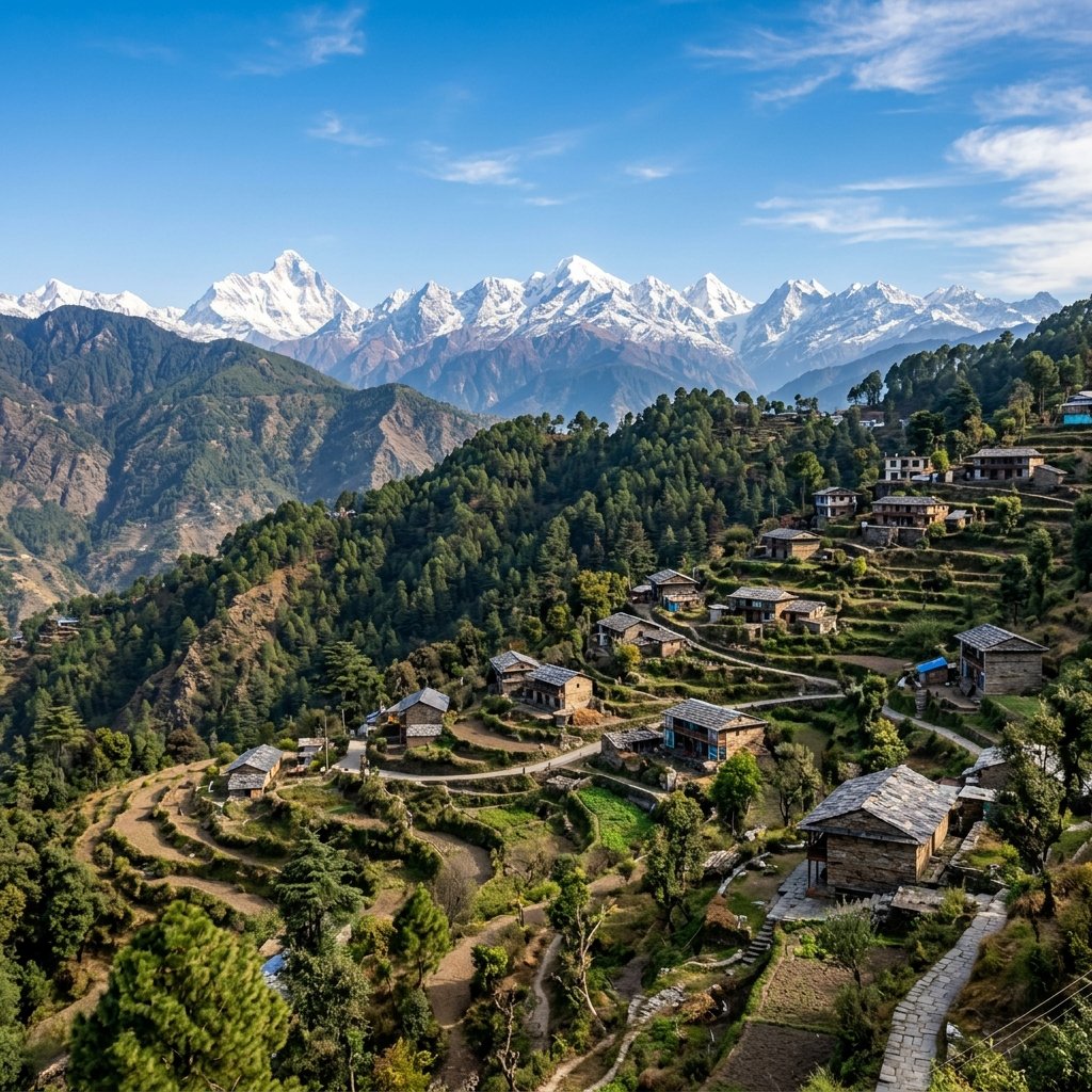
Cradled in the center of the expansive and fertile Soar Valley at an elevation of 1,627 metres (5,338 feet), Pithoragarh is the largest commercial, cultural, and administrative hill city in the Kumaon Himalayas. Frequently described as "Little Kashmir" due to its saucer-shaped green valley encircled by terraced slopes and snow-crowned Himalayan ramparts, Pithoragarh has historically guarded the crossroads where India, Tibet, and Nepal meet.
The historical crown of the city is the Pithoragarh Fort (London Fort), constructed in 1789 by the Gorkhas and later expanded by the British. Perched atop a prominent central knoll, its stone bastions and cannon embrasures offer commanding views across the entire valley basin and the surrounding pine-clad mountain ridges.
Deep beneath the town's eastern hills lies Kapileshwar Mahadev, an extraordinary underground limestone cave temple dedicated to Lord Shiva. Pilgrims descend into naturally carved stone chambers to venerate naturally formed stalagmites and lingams that have been worshipped since Vedic times when sage Kapila meditated here.
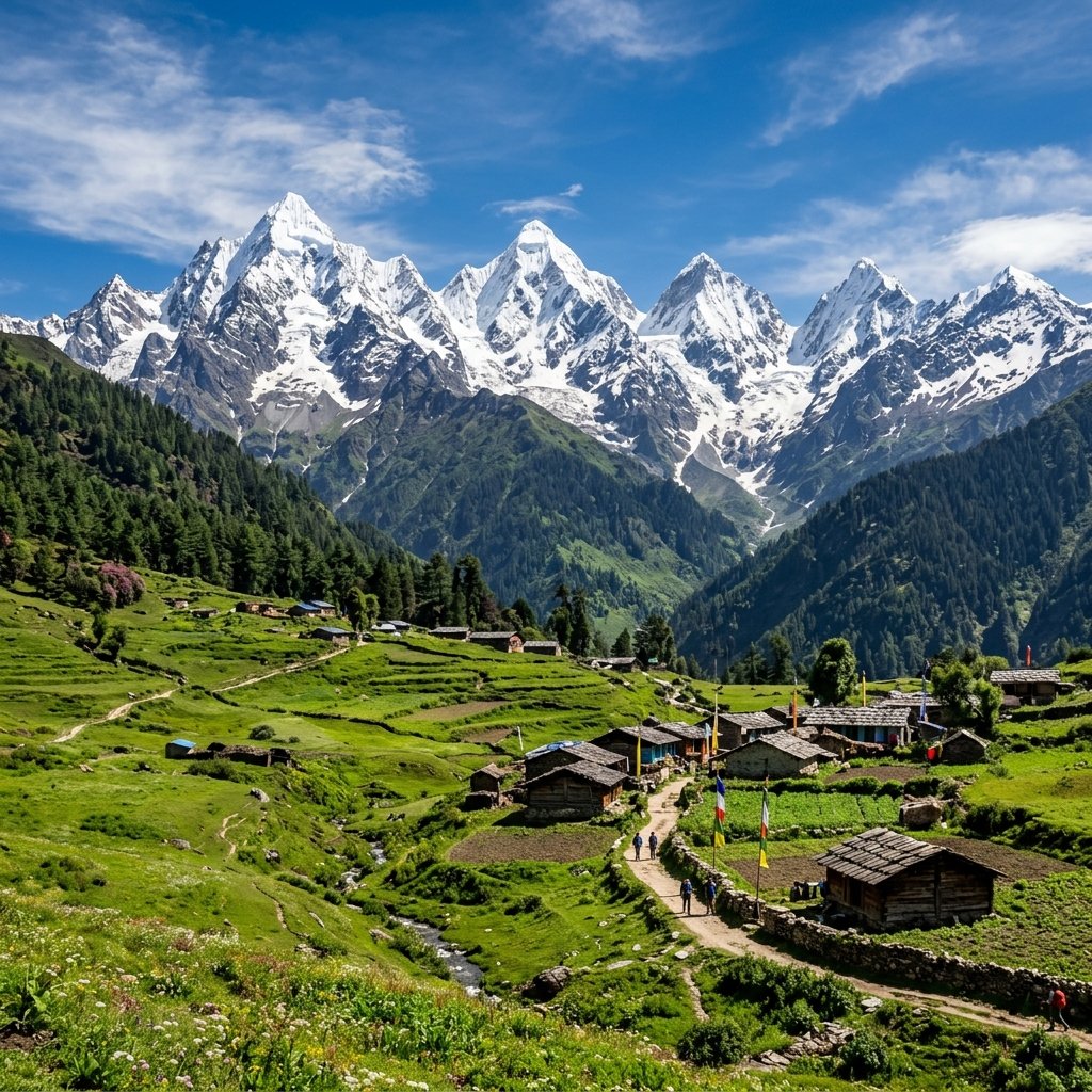
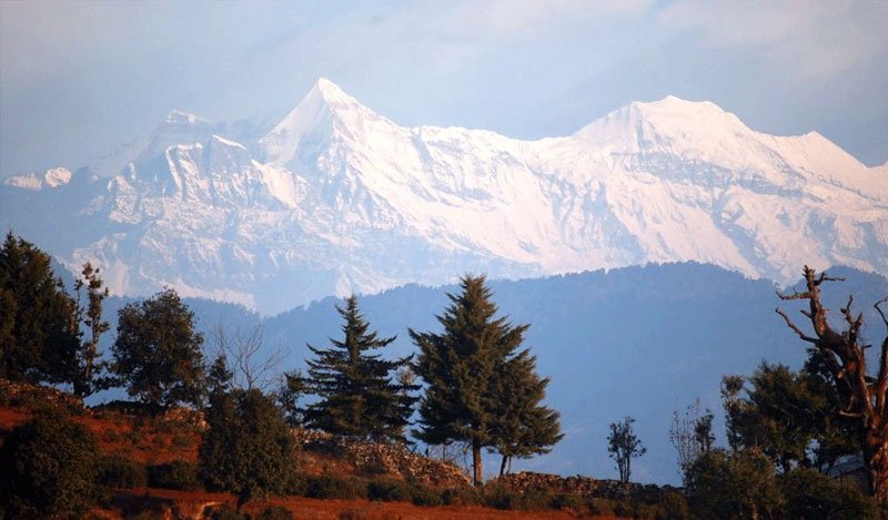
Just 7 kilometres above town rises Chandak Hill, a breathtaking ridge blanketed in fragrant deodar and oak trees. Famous for its magnesite mines and the ancient Mostamanu temple, Chandak presents unobstructed panoramic views of the colossal Panchachuli range, Nanda Devi East, and the jagged snow peaks of western Nepal across the Kali River.
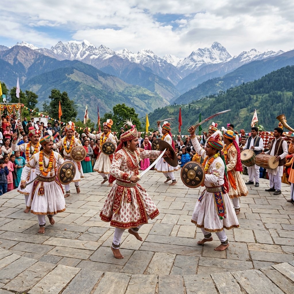
Pithoragarh serves as the historic staging post for major trans-Himalayan pilgrimages and expeditions, including the sacred Kailash Mansarovar Yatra and treks into the remote Milam, Ralam, and Darma valleys. In the lively bazaars of Simalgair and Naya Bazar, Bhotia weavers sell authentic handloom carpets (dan), tweed jackets, and thick sheep-wool blankets.
With pleasant sub-tropical highland weather, rich Kumaoni culinary traditions, and an atmosphere free from mass tourist commercialism, Pithoragarh remains the proud cultural and geographical gateway to the eastern Himalayas.
Pleasantly warm during the daytime with cool mountain breezes. Perfect for touring the historic fort, temple shrines, and venturing up to Chandak hill.
Hills turn intensely emerald green with waterfalls tumbling down rock faces. The valley is draped in gentle rolling mists; drive carefully on hill roads.
Crisp sunny mornings with sharp mountain light and freezing nights. Nearby high ridges like Chandak and Dhwaj occasionally receive light snowfall.
 18th-Century Gorkha Bastion
01
 Panoramic Ridge · 8 km (1,830m)
02
 Sacred Mountain Shrine · 16 km (2,000m)
03
 Musk Deer Reserve · 54 km
04
 Natural Cave Temple · 3 km
05
 High Crest · 18 km (2,100m)
06
Walk along the historic stone bastions and photograph the sprawling patchwork of fields across the Soar Valley.
Drive 8 km to Chandak hill to witness the sun set behind the colossal snow summits of Panchachuli and Trishul.
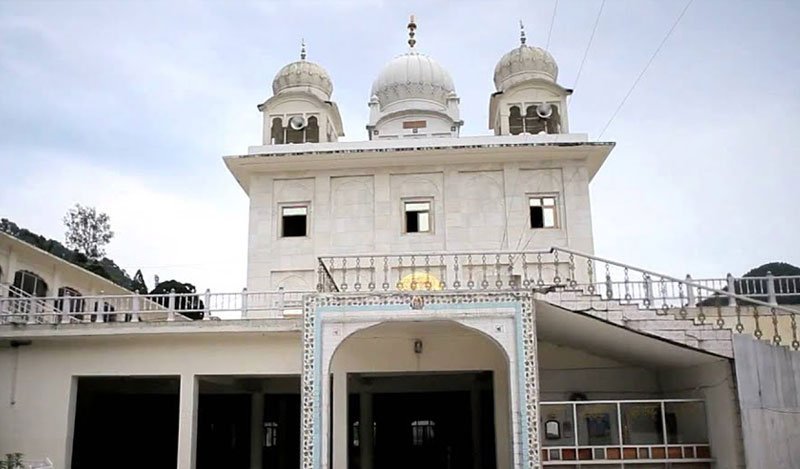
Trek through dense oak and rhododendron forests to the 2,000m hilltop sanctum of Thal Kedar Mahadev.
Explore the bustling bazaars of Purana Bazar and Simalgair for traditional hammered copper utensils and Dan carpets.
 Hills
 Adventure
 Adventure
 Hills
 Hills
 Hills
 Spiritual
 Hills
 Spiritual
 Nature
 Lakes
 Spiritual
Catch Sunrise from Chandak Hill: Chandak hill (8 km from town) provides the finest morning vantage point where the snowbound peaks of Nepal and India light up simultaneously.
Enjoy the Widened All-Weather NH-9: The highway from Tanakpur via Ghat to Pithoragarh is part of the all-weather corridor, making driving smooth and scenic.
Buy Handcrafted Copperware: Pithoragarh has a centuries-old tradition of copper craftsmen (Tamta community); purchase authentic hand-beaten copper water jugs and mugs.
Day Trip to Nepal (Jhoolaghat): Drive 36 km to Jhoolaghat border town where Indian nationals can walk across the suspension footbridge into Nepal with simple government ID.
Visit the ASI Museum at Fort: The renovated Pithoragarh Fort houses a museum with historical inscriptions, weapons, and photographs detailing Kumaon's royal history.
Major Service & Fuel Center: Pithoragarh is the last major hub with authorized vehicle service centers, petrol pumps, and ATMs before venturing to Munsiyari or Dharchula.
Everything you need to know about Pithoragarh: places to visit, fort history, distance, and Kailash gateway.
Pithoragarh is an enchanting frontier citadel where the martial valor of ancient Kumaon harmonizes with the sublime tranquility of the Soar Valley. Gazing out from the historic stone ramparts of London Fort as the setting sun paints the colossal spires of Panchachuli and the distant peaks of Nepal in shades of molten amber, one feels the proud, majestic spirit of the Eastern Himalayas.
Start Planning Your Trip →Explore More: Soar Valley & Eastern Kumaon